What is RVR – Understanding Runway Visual Range
Understanding Runway Visual Range (RVR)
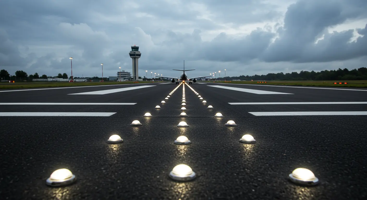
Runway Visual Range (RVR) represents a critical aviation measurement—the horizontal distance a pilot positioned on a runway’s centerline can discern high-intensity lights or surface markings. This measurement, expressed in meters or feet, forms the foundation for determining whether takeoffs and landings can proceed safely under prevailing conditions.
Unlike general visibility measurements, RVR focuses specifically on the pilot’s perspective along the runway corridor. Specialized instruments called transmissometers, strategically positioned near the touchdown zone, generate these precise readings by simulating a pilot’s actual view during approach.
How RVR is Measured
Originally, RVR determination relied on human observers who would manually count visible runway lights—either from vehicles positioned at the runway threshold or from control tower vantage points. This visual count was then converted into distance measurements to establish the RVR value.
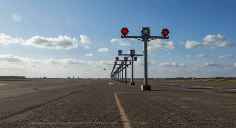
Modern RVR measurement uses sophisticated instrumentation, primarily transmissometers installed near touchdown points. These devices gauge light attenuation between transmitter and receiver across known distances, creating visibility correlations. Specialized algorithms then process this raw data, factoring in background luminance, runway light intensity, and the pilot’s unique perspective.
For comprehensive runway monitoring, longer runways are often equipped with RVR sensors at three key positions:
-
Touchdown Zone: Monitors visibility at the initial point of landing.
-
Midpoint: Measures visibility in the middle section of the runway.
-
Rollout Area: Provides visibility data for the final deceleration phase.
This sensor arrangement provides pilots with a complete visibility profile across the complete landing corridor, improving operational safety.
Importance of RVR in Aviation Safety
RVR readings are essential for instrument flight operations, directly determining permissible precision approach categories. Each Instrument Landing System (ILS) approach—whether CAT I, II, or III—carries specific RVR minimums that establish the lowest visibility thresholds for safe landing operations.
Commercial and corporate pilots use RVR data to authorize CAT II/III approaches and confirm takeoff minimums are met. General aviation pilots use these readings to anticipate when visual runway contact will occur at decision height. Notably, the maximum reported RVR caps at 2,000 meters (approximately 6,000 feet)—beyond this threshold, standard visibility measurements take precedence.
RVR Reporting Standards
RVR reporting activates at equipped airports only when visibility becomes operationally limiting. Reporting begins when general visibility drops to 1 statute mile or below, or when instrument runway RVR falls to 6,000 feet (roughly 1,800 meters) or less.
When conditions warrant reporting, RVR values appear in aviation routine weather reports (Meters) and terminal aerodrome forecasts (Tags). These reports denote RVR with the letter ‘R’ followed by runway designation and visibility value in meters or feet. For instance, ‘R27/1500FT’ indicates Runway 27 maintains an RVR of 1,500 feet.
Runways equipped with multiple sensors may report distinct values for touchdown, mid-point, and rollout positions. When these readings vary significantly, all values are communicated to provide pilots with a complete visibility assessment along the entire runway length.
RVR Sensors and Their Functionality
RVR sensor systems employ two primary technologies: Transmissometers measure light beam attenuation between projector and receiver, with this light loss directly correlating to visibility conditions.Forward-scatter meters use a newer approach, measuring light scattered by airborne particles to determine visibility parameters.
Automated weather observing systems (AMOS) process this sensor data and convert it into standardized RVR values. The processed information goes to air traffic control and reaches flight crews through detailed weather reports.
ICAO Visual Aid Categories Based on RVR
The International Civil Aviation Organization (ICAO) establishes airport visual aid system categories based on RVR thresholds. These classifications determine the lighting and marking systems needed to support safe operations across varying visibility conditions, maintaining consistent global aviation standards.
| Category | RVR Range | Key Visual Aids Required |
|—|—|—|
| CAT I | > 550 m | Standard approach, threshold, edge, and end lights. |
| CAT II | 300 m to 549 m | Enhanced systems, including touchdown zone lights and denser approach lights. |
| CAT Ilia | 175 m to 299 m | Centerline lighting, high-intensity edge lighting, and advanced approach lighting. |
| CAT AIIB | 50 m to 174 m | As above, but configured for severely limited visibility. |
| CAT AIIC | < 50 m | Supports zero-visibility operations (rarely implemented). |

