Understanding True Altitude in Aviation – Definition and Calculation
What is True Altitude? – Definition and Importance
True altitude represents the vertical distance of an aircraft above Mean Sea Level (MSL)—a standardized reference point defined by the FAA that captures the average global ocean level. This measurement is critical for all flight operations.
Why does this matter? True altitude provides a universal reference that remains independent of local terrain variations. This is the indicated altitude corrected for non-standard temperature and pressure conditions—a vital adjustment since atmospheric conditions rarely align with standard calibration values.
Understanding true altitude is fundamental for pilots and air traffic controllers for several key safety functions:
-
Vertical Separation: Maintaining safe clearance from terrain and other aircraft.
-
Navigation & Planning: Ensuring accurate flight planning and en-route navigation.
-
Obstacle Clearance: Avoiding obstacles, especially over mountains or in poor weather.
How to Calculate True Altitude – Step-by-Step Guide
Calculating true altitude accurately is essential for flight safety. Pilots rely on two primary methods: direct measurement and mathematical calculation.
The first approach involves direct measurement using radar or radio altimeters, which provide precise height readings above the surface below. However, this method has limitations—it works best over water and demands specialized equipment.
The second method—far more common in practice—employs a mathematical formula that compensates for temperature variations from International Standard Atmosphere (ISA) conditions:
True Altitude = Indicated Altitude + (ISA Deviation × 4/1,000 × Indicated Altitude)
This formula requires two key values: your indicated altitude (straight from the altimeter) and the ISA temperature deviation (how much the actual temperature differs from standard). Standard temperature starts at 15°C (59°F) at sea level, then drops approximately 2°C for every 1,000 feet of altitude gained.
Here’s a practical example: flying at an indicated altitude of 10,000 feet with outside air temperature 10°C colder than standard yields a true altitude of 9,600 feet. The calculation? 10,000 + (-10 × 4/1,000 × 10,000) = 9,600 feet.
How Do Pressure Variations Affect True Altitude?
Pressure variations significantly affect true altitude calculations and altimeter readings. Standard barometric pressure at sea level measures 29.92 inches of mercury (ING) or 1013.25 hectopascals (HPA). When local pressure strays from this benchmark, it creates a gap between what your altimeter shows and your actual altitude.
When local pressure drifts from standard values, altimeter accuracy suffers:
-
Lower-than-standard pressure: The altimeter indicates a higher altitude than the aircraft’s true position, creating a risk of flying too low.
-
Higher-than-standard pressure: The altimeter indicates a lower altitude than the true position.
Pilots remember this critical relationship through the phrase “high to low, look out below.” This means flying from high pressure to low pressure areas without adjusting your altimeter setting puts you lower than indicated—a potentially dangerous situation. These pressure-induced discrepancies make regular altimeter updates essential during flight, ensuring indicated altitude stays close to true altitude for safe navigation.
How Is True Altitude Affected by Temperature?
Temperature changes directly affect altitude readings, creating critical safety implications:
Temperature affects altitude because of air density changes—warmer air becomes less dense while colder air grows denser. Since altimeters calibrate based on standard temperature conditions (dropping 2°C per 1,000 feet from 15°C at sea level), any deviation creates discrepancies between indicated and true altitude.
Cold conditions pose the greatest risk. Aircraft can fly significantly closer to terrain than altimeters indicate—a potentially fatal miscalculation. Experienced pilots apply temperature corrections to minimum altitudes, particularly during approaches and landings where terrain clearance matters most.
The 4/1,000 factor in our true altitude formula directly addresses this temperature effect, allowing pilots to calculate necessary corrections.
True Altitude vs Indicated Altitude – Key Differences
| Feature | Indicated Altitude | True Altitude |
|—|—|—|
| Definition | The uncorrected altitude read directly from the altimeter. | The actual vertical distance above Mean Sea Level (MSL). |
| Corrections | None applied. | Corrected for non-standard temperature and pressure. |
| Accuracy | Varies with atmospheric conditions and instrument error. | Represents the aircraft’s actual height above sea level. |
This comparison includes calibrated altitude—indicated altitude corrected for instrument errors. The accuracy progression follows this path: Indicated → Calibrated → True Altitude. Each step adds corrections for increasingly precise measurements.
Understanding these differences is essential for flight planning. Pilots must recognize that altimeter readings may not reflect actual height above sea level—crucial awareness for maintaining safe terrain clearance, especially in mountainous regions where margins for error shrink dramatically.
Understanding Other Altitude Types – Absolute, Pressure, and Density
Beyond true and indicated altitude, pilots encounter several other altitude concepts, each serving distinct purposes in aviation operations. Each type provides information essential for safe, efficient flight.
Absolute Altitude Explained – Height Above Ground Level
Absolute altitude measures the vertical distance from aircraft to terrain directly below—expressed as height Above Ground Level (AGL). Unlike true altitude, which references sea level, this measurement uses the ground itself as its baseline.
This measurement becomes vital during terrain awareness in low-altitude operations: takeoffs, landings, and low-level flight. Since it fluctuates with terrain elevation, absolute altitude demands continuous monitoring during these critical phases.
Pilots determine absolute altitude using radio or radar altimeters, which measure ground distance via radio waves. These instruments excel below 2,500 feet AGL, making them indispensable for landing approaches.
Understanding the relationship between absolute and true altitude enhances situational awareness significantly. Consider this scenario: an aircraft maintaining constant true altitude of 5,000 feet MSL over terrain rising from sea level to 3,000 feet. Its absolute altitude drops from 5,000 feet AGL to just 2,000 feet AGL, despite unchanged true altitude.
Pressure Altitude Impact on True Altitude
Pressure altitude represents height above the standard datum plane where atmospheric pressure equals 29.92 inches of mercury (ING). This measurement is important for aircraft performance calculations and serves as an intermediate step when determining true altitude under non-standard atmospheric conditions.
Under standard conditions, the relationship between pressure and true altitude is straightforward: when local barometric pressure exactly matches 29.92 ING, pressure altitude equals true altitude. However, this perfect alignment rarely occurs in real-world flying, as atmospheric pressure constantly shifts with weather systems and altitude changes.
When local pressure deviates from the standard 29.92 ING, the relationship changes:
-
Lower Pressure: Pressure altitude is higher than true altitude.
-
Higher Pressure: Pressure altitude is lower than true altitude.
Pilots obtain pressure altitude by setting their altimeter to 29.92 ING. This value drives performance calculations and provides a baseline for calculating true altitude after applying temperature corrections.
Density Altitude Effects on Aircraft Performance
Density altitude represents pressure altitude corrected for non-standard temperature and humidity—essentially the altitude at which aircraft “feels” it’s flying based on actual air density. This concept is important for understanding aircraft performance, since engines and aerodynamic surfaces respond to air density rather than physical height.
High density altitude—caused by elevated terrain, high temperatures, or humidity—corresponds to thinner air. This degrades aircraft performance by reducing both engine power output and aerodynamic lift generation.
The results? Longer takeoff distances, reduced climb rates, and higher stall speeds. Picture this: an aircraft at a high-elevation airport on a scorching day needs significantly more runway than the same aircraft would require at sea level on a cool morning.
Experienced pilots factor density altitude into flight planning, consulting performance charts to ensure safety margins. Common mitigation strategies include reducing takeoff weight, scheduling flights during cooler periods, and selecting longer runways when available.
FAQs About True Altitude in Aviation
Why is true altitude important for pilots?
True altitude is fundamental to navigation and safety, providing actual vertical distance above mean sea level. This measurement ensures proper terrain clearance—especially critical when navigating mountainous terrain—and helps maintain safe separation between aircraft operating at different flight levels.
Though the formula provides the most accurate results, pilots can apply a practical rule of thumb: in colder-than-standard air, true altitude sits lower than indicated. For every 10°C below standard temperature, expect true altitude to be roughly 4% lower than your altimeter reading.
What’s the most common misconception about true altitude?
The biggest misconception? Confusing true altitude with indicated or pressure altitude. Many pilots mistakenly assume their altimeter reading (indicated altitude) accurately represents height above sea level. In reality, these values can differ significantly due to non-standard temperature and pressure conditions.
Do pilots constantly calculate true altitude during flight?
For routine operations, pilots typically rely on indicated altitude with current altimeter settings for navigation. However, awareness of temperature effects on true altitude becomes crucial during cold weather operations or mountainous terrain flying. In these situations, specific corrections may be applied to minimum altitudes.
Can indicate altitude ever equal true altitude?
Yes, but only under perfect International Standard Atmosphere (ISA) conditions. Since these conditions rarely exist in real-world operations, the two values almost always differ.
How do modern aircraft handle true altitude calculations?
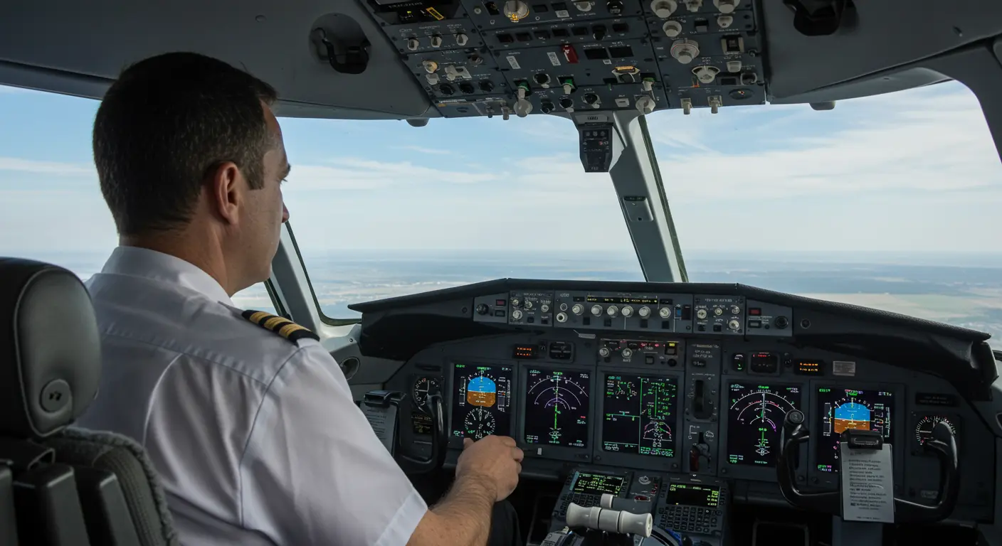
Modern glass cockpits can automatically calculate and display true altitude by integrating live temperature and pressure data. This automation reduces pilot workload while improving situational awareness.


