Understanding DME Aviation – Distance Measuring Equipment Explained
What is Distance Measuring Equipment (DME)?
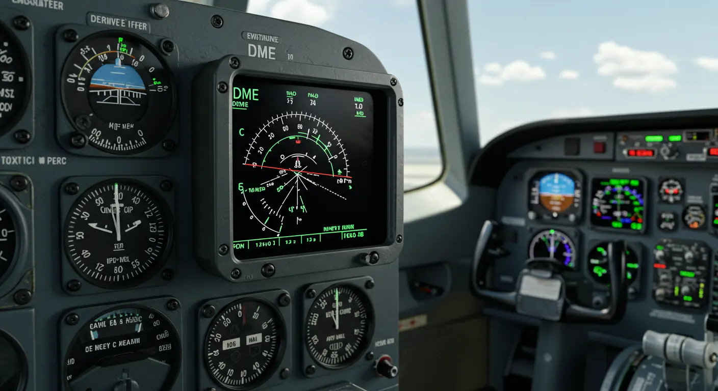
Distance Measuring Equipment (DME) is a radio navigation technology that measures the slant range—the direct line-of-sight distance—between an aircraft and a ground station. By timing the round-trip delay of radio signals, it enables pilots to determine their distance from a navigation aid with high precision.
Typically paired with VOR (VHF Omnidirectional Range) beacons, DME uses an interrogation-response system. The aircraft’s DME equipment transmits an interrogation signal to the ground-based DME station. After a precisely timed delay, the ground station responds with its own signal back to the aircraft.
Distance readings appear on the pilot’s display in nautical miles. DME provides slant range—the direct line between the aircraft and the station—not horizontal distance over the ground, a distinction most significant at high altitudes or when directly overflying a station. As a line-of-sight system, DME provides reliable navigation assistance in all weather conditions.
How DME Works in Aviation
DME operates through a radio-based interrogation and response system within the UHF L-band spectrum (960-1215 MHz)—a frequency range that ensures reliable propagation for distance measurements.
The system relies on an exchange between two primary components:
-
Aircraft Interrogator: A transmitter/receiver that sends a pair of pulse signals to the ground.
-
Ground Transponder: A receiver/transmitter that, after a precise 50-microsecond delay, sends a response on a different frequency.
The aircraft’s DME unit measures the total round-trip time, subtracts the 50-microsecond delay, and divides the result by two. Using the speed of light, the system converts this one-way travel time into distance, displayed in nautical miles.
DME Accuracy and Specifications
Distance Measuring Equipment provides highly accurate distance information—essential for safe navigation across diverse flight conditions. Standard DME ground stations maintain accuracy within ±185 meters (approximately ±0.1 nautical miles), making them reliable tools for both en-route navigation and approach procedures.
DME systems excel across varying altitudes and distances. Typically, they can provide reliable measurements from proximity to the station out to line-of-sight distances, which can extend to 199 nautical miles or more at higher altitudes. Accuracy stays consistent across this entire range, though environmental factors and terrain may occasionally influence performance.
Modern DME systems offer enhanced capabilities, including:
-
Simultaneously tracking multiple DME stations for redundancy.
-
Displaying distance to the nearest tenth of a nautical mile.
-
Calculating ground speed and time-to-station based on the rate of change in distance.
DME system specifications follow international standards established by ICAO (International Civil Aviation Organization), ensuring seamless compatibility across different manufacturers and countries. This standardization ensures DME’s continued relevance in aviation navigation, alongside newer technologies.
DME Transponder Types Explained
DME transponders fall into two primary categories based on their power output and intended application: Low-Power Does (LP DME) and High-Power Does (HP DME). The fundamental differences center on their power capabilities and specific use cases.
| Feature | Low-Power DME (LP DME) | High-Power DME (HP DME) |
|—|—|—|
| Power Output | ~100 watts | ~1,000 watts |
| Primary Use | Approach Navigation | En-route Navigation |
| Typical Range | 25-30 NM | Up to 199+ NM |
| Associated With| Instrument Landing Systems (ILS) | VOR Stations (VOR/DME) |
Both transponder types adhere to identical technical standards, ensuring seamless compatibility with airborne equipment. The choice of which type to use depends on factors such as the location’s navigational purpose, traffic volume, and geographical considerations.
DME Frequency Usage and Channelization
DME systems operate within the UHF spectrum, specifically occupying the frequency range from 960 MHz to 1215 MHz. This frequency range provides good propagation characteristics for aviation purposes and enjoys international protection for aeronautical radio navigation services.
The DME frequency system employs an ingenious channelization scheme, accommodating numerous DME stations operating simultaneously without interference. Each DME channel consists of paired interrogation and reply frequencies, separated by exactly 63 MHz.
The system utilizes 126 channels, effectively doubled to 252 through two distinct modes: X and Y. These modes employ different pulse spacing patterns, allowing two stations to share a frequency pair without interference—an effective solution for spectrum efficiency.
DME channels often link with VOR or ILS frequencies through a standardized pairing system. When pilots select a particular VOR or ILS frequency on their navigation radio, the associated DME channel activates automatically—provided the aircraft carries channelized DME equipment.
DME and the Global Positioning System (GPS) represent two distinct aviation navigation technologies, each operating on fundamentally different principles and offering unique capabilities.
DME measures slant range, which altitude directly affects—an aircraft at 6,076 feet altitude directly over a station will display 1 NM on the DME. GPS, conversely, calculates true horizontal distance between coordinates, remaining unaffected by altitude variations.
A notable limitation of DME lies in its dependence on specific ground-based stations equipped with DME technology. Pilots must remain within range of these stations to obtain distance information.
GPS technology’s emergence has gradually diminished reliance on traditional DME systems. Modern aviation regulations now permit GPS distance information as a DME substitute when flying under Instrument Flight Rules (IFR) with approved GPS systems.
Future of DME Technology
Despite satellite-based navigation’s widespread adoption, Distance Measuring Equipment continues evolving and maintaining relevance in modern aviation. In 2020, a significant advancement emerged with ‘Fifth-Generation DME’—providing greatly improved accuracy that reduces the margin of error from the traditional ±185 meters down to ±5 meters.
These advanced DME systems provide essential backup to GNSS (Global Navigation Satellite Systems) with near-GPS accuracy levels. This redundancy proves crucial for aviation safety, addressing legitimate concerns about GNSS vulnerability to jamming, spoofing, and solar activity.
Another important feature of new DME technology involves its maintenance and calibration capabilities. The system can undergo function-checking using drone flights—significantly reducing the cost and complexity of ensuring proper operation.
Looking ahead, DME is poised to play a vital role in the Alternative Position, Navigation, and Timing (AUNT) strategy being developed by aviation authorities worldwide. As part of this strategy, enhanced DME networks could provide terrestrial backup to satellite navigation, ensuring service continuity even during GNSS outages.


