Understanding the Dry Line – Definition and Weather Impact
What is a Dry Line? – Definition and Overview
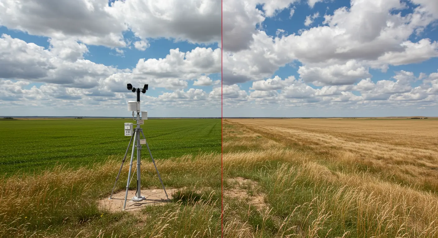
A dry line represents a remarkable atmospheric boundary where contrasting air masses collide—moist and dry air creating a zone of intense atmospheric activity. The most striking example unfolds across central North America, particularly through Texas, Oklahoma, and Kansas, where humid Gulf of Mexico air meets the dry air from the desert southwest. Meteorologists also refer to this phenomenon as a dew point line or Maria front.
Dry lines differ from traditional fronts in a key way: While fronts separate air masses by temperature, dry lines create moisture boundaries that can produce severe weather with surprising force. The subtle temperature variations across this boundary make it a uniquely challenging yet critical feature for meteorologists to track—especially during peak severe weather seasons.
Stretching north-to-south as a nearly invisible barrier, the dry line defines where scorching desert air meets the Gulf’s moisture-laden atmosphere. This atmospheric convergence creates instability—a setup that forecasters watch intently when predicting severe weather across the Great Plains.
Characteristics of the Dry Line – Key Features
The humidity contrast is striking: step across this invisible boundary from east to west, and dew points can plummet 15-25°F within mere miles. This moisture transformation typically coincides with a telling wind shift—from humid southeasterly breezes to dry southwesterly or westerly winds.
The dry line follows a predictable daily pattern, surging eastward as the sun climbs and retreating westward after sunset. Daytime solar heating supercharges atmospheric mixing, propelling this boundary 50–100 miles eastward.
The Dry Punch – What It Is and Its Effects
A “dry punch” occurs when fast-moving dry air surges into humid territory, creating a pronounced bulge in the dry line. This atmospheric intrusion dramatically amplifies the potential for explosive thunderstorm development.
The dry punch works as a powerful trigger, intensifying convergence and forcing moisture-rich air skyward with great force. This powerful lifting mechanism can rapidly transform rising, saturated air into towering thunderstorms—provided the atmospheric stage is properly set.
Meteorologists watch dry punches as storm indicators, monitoring them with intense focus. The resulting dry line bulge becomes ground zero for thunderstorm birth. Forecasters rely on radar and satellite technology to track these features, pinpointing where nature’s most violent storms might develop rapidly.
Daily Progression of the Dry Line in North America
Weather Associated with the Dry Line – Thunderstorms and More
The dry line serves as a prolific storm generator, with thunderstorms frequently erupting along or just east of this atmospheric divide. Peak activity typically occurs during afternoon hours, when blazing solar heating combines with the line’s eastward march to create maximum instability.
The advancing dry line acts as an atmospheric wedge, relentlessly forcing humid air upward. This lifting force, amplified by solar heating, can shatter the “cap”—a layer of warmer air aloft that normally suppresses storm development.
These storms can produce the full range of severe weather, making the dry line essential for forecasters to track:
-
Supercell Thunderstorms: Rotating storms with persistent up drafts that can spawn dangerous tornadoes.
-
Large, Damaging Hail: A frequent threat to property and agriculture.
-
Destructive Straight-Line Winds: High-velocity winds that can cause widespread damage.
-
Torrential Rainfall: Can lead to dangerous flash flooding.
The Dry Line’s Impact on Weather Patterns
The dry line has major influence over central U.S. weather patterns, functioning as a primary catalyst for major weather events while sculpting regional atmospheric behavior.
It carves the landscape into distinct weather realms: eastern areas remain humid with precipitation potential, while western zones bask in clear, arid conditions. This stark atmospheric divide can create wildly different weather for communities separated by mere dozens of miles.
Its connection to severe weather is remarkable—research reveals that roughly 40% of U.S. tornado reports occur within 100 miles of an active dry line. This concentration transforms it into a forecasting focal point, with prediction models meticulously tracking its position to anticipate storm genesis.
Beyond its daily weather effects, the dry line shapes broader climate patterns by defining the transition zone between America’s humid east and arid west. This zone’s variable weather has significant implications for agriculture, water management, and disaster preparedness throughout the Great Plains.